Relizane
Relizane
- Code:
- 48
- Name in arabic:
- غليزان
- Name in english:
- Relizane
- Name in berber:
- ⵉⵖⵉⵍ ⵉⵍⵣⴰⵏ
- Phone Code:
- 046
- Zip code:
- 48000
- Population:
- 726 180 hab. (2008)
- Area :
- 4 870 km2
Presentation of the wilaya
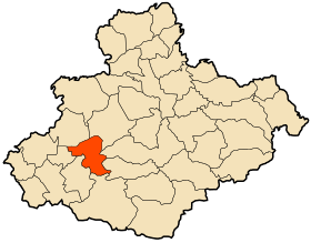
The wilaya of Relizane (in Arabic : ولاية غليزان In Berber : iɣil izzan in Tifinagh : ) is a wilaya of Algeria in the north-west.
The name of Relizane comes from the Berber ⵉⵖⵉⵍ ⵉⵣⵣⴰⵏ ( Iɣil Izzan ) which means “ burnt / grilled hill ” 3 . The Turks built a bordj there , hence the name Bordj Ighil Izan , to control the road to Oran .
The wilaya of Relizane with an area of 4,872.32 km² resulting from the administrative division of 1984, the wilaya occupies a strategic position in the Northwest region. It constitutes a very important crossroads of socio-economic exchange on a regional and national scale and an obligatory passage connecting both the west and the coast to the rest of the country. Located 60 km from the port of Mostaganem, 120 km from Oran international airport and 320 km from Algiers.
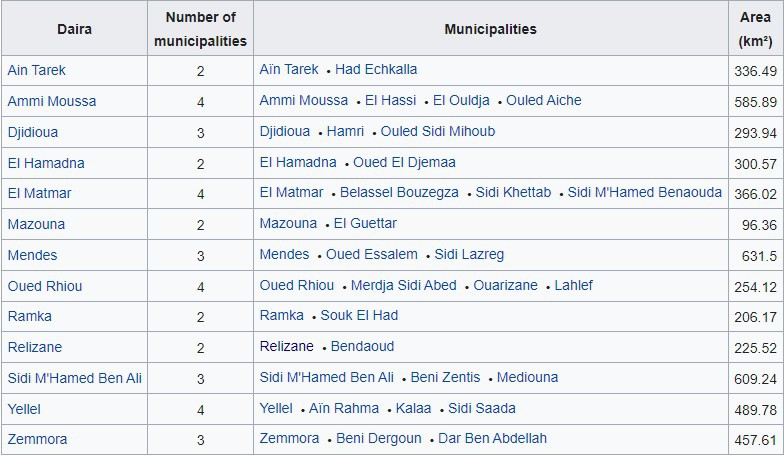
The wilaya includes 38 municipalities and 13 daïras
GEOGRAPHICAL SITUATION (Relief - Climate, etc.)
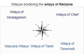
The wilaya is located in the northwest of the country. It is bordered:
- to the north, by the wilaya of Mostaganem ;
- to the west, by the wilaya of Mascara ;
- to the east, by the wilaya of Chlef ;
- to the south, by the wilayas of Tiaret and Tissemsilt .
Relief:
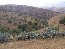
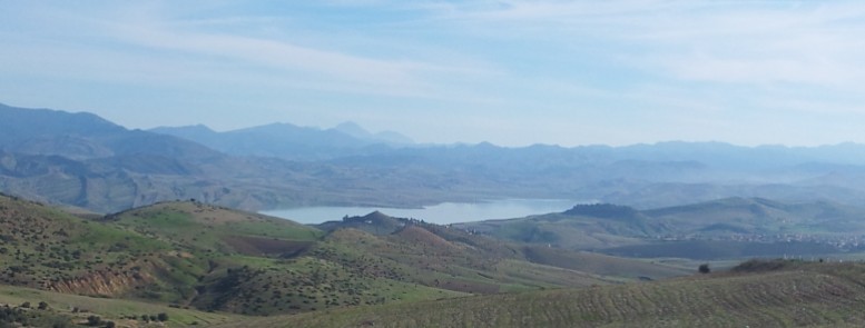
The relief is made up of two sets, a mountainous set (to the north the Dahra mountains to the south the Ouarsenis mountains which extend from east to west to reach the Béni Chougrane mountains) and a set of plains (part central area occupied by the plain of Bas Chélif and the Mina).
Weather :
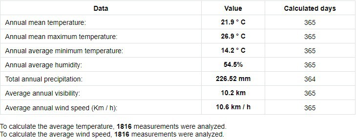
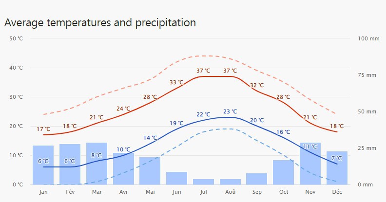
The wilaya has two different climates and is dominated by the hot Mediterranean climate in summer and another continental climate , hot semi-arid which is the climate of the capital .
ECONOMIC POTENTIALITIES
The wilaya of Relizane has significant economic potential, the exploitation of which offers prospects for economic development and investment possibilities in the agricultural, industrial and service sectors.
Agricultural potentials
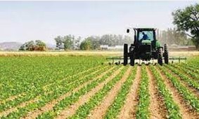
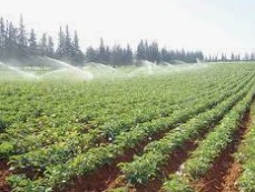
The wilaya of Relizane is characterized by its agricultural vocation, it is known for its fertile land
especially the low-Cheliff plain. The total agricultural area (SAT) is 297,387 ha including 281,875 ha of UAA, or 57.8% of the total area of the wilaya. These indicators tell us about the agricultural vocation par excellence, including 17,632 ha of irrigated land, and 6,062 ha of pasture and rangelands and 9,450 ha of unproductive land.
Industry
Main industries BTP, Construction materials, Food industry, textiles, Wood and paper industry
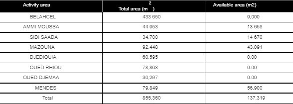
ECONOMIC, ADMINISTRATIVE AND SOCIAL INFRASTRUCTURES
Hydraulic
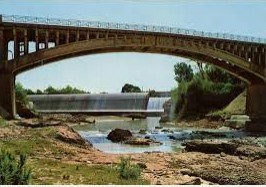
the main rivers: Oued Chleff, Oued Mina and Oued Rhiou.
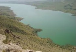
Wadi Chleff crosses the wilaya from East to West, Oued Mina and Oued Rhiou cross the wilaya from South to North and flow into Wadi Chellif.
This wilaya includes the following dams :
- Gargar dam ;
- Sidi M'hamed Benaouda dam ;
- Merdja Sidi Abed dam.
Road network
The wilaya of Relizane is crossed from east to west by a highway, considered as the backbone of the road network of the wilaya, on a linear of 87 km. Along with this motorway, which will become chargeable, the RN04 is undoubtedly the free alternative par excellence.

Rail network
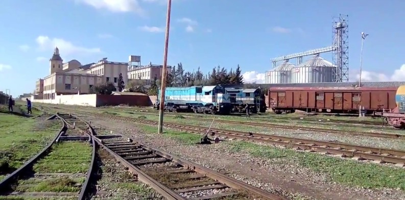
The wilaya is crossed by a railway line from the east from the limits of the wilaya of Chlef, to the west at the limit of the wilaya of Mascara (Mohammadia), extends over a distance of 67.8 km including five (05) main stations, Relizane, Oued Rhiou, Djidiouia, Oued Djemaa and Yellel.
The importance of this line is to ensure the transport of passengers and goods.
A rail network with a length of 86.5 km leading from the limits of the wilaya of Mascara to the borders of the wilaya of Chlef.
Health
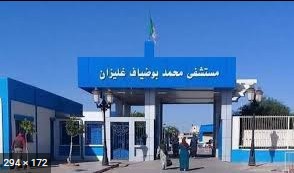
The wilaya of Relizane has :
03 public hospitals.
01 specialized hospital establishment.
34 polyclinics.
153 treatment rooms.
TOURIST ACTIVITIES
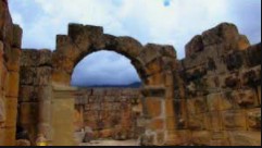
The wilaya envelops several tourist sites :
- Kalaa , Roman and Muslim historical remains ;
- Zemmora , Roman ruins ;
- Ammi Moussa , Roman and Zianid remains , places of resistance of the ALN ;
- Mazouna , the Medersa ;
- Relizane , historic town (ruins of the mina) ;
- Aïn Tarek , El Madina or El Kherba : traces of the manufacture of iron and pottery ;
- Lahlef : between Oued Rhiou and Ammi Moussa , a town which contains a dam named Guerguer and a large area of agricultural land.
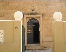
Bt B.34 housing units, Cité intissar, n ° 4, Relizane, Algeria
 Contact details of the Chamber of Commerce and Industry of
Relizane
CCIM / Chamber of Commerce and Industry of Mina
- Address:
- Bt B.34 housing units, Cité intissar, n ° 4, Relizane, Algeria
- Email:
-
cci-mina@caci.dz
- Mobile:
- There is no primary mobile phone
- Landline number:
-
046 71 51 57
046 71 53 47
- Fax:
-
046 71 51 57
046 71 53 47
- Viber:
- There is no viber account
- Work hours:
- We don't have this information.
- Website:
- http://www.cci-mina.com
