Mila
Mila
- Code:
- 43
- Name in arabic:
- ميلة
- Name in english:
- Mila
- Name in berber:
- ⵎⵉⵍⴰ
- Phone Code:
- 031
- Zip code:
- 43000
- Population:
- 766 886
- Area :
- 3 481 km2
presentation of the wilaya:
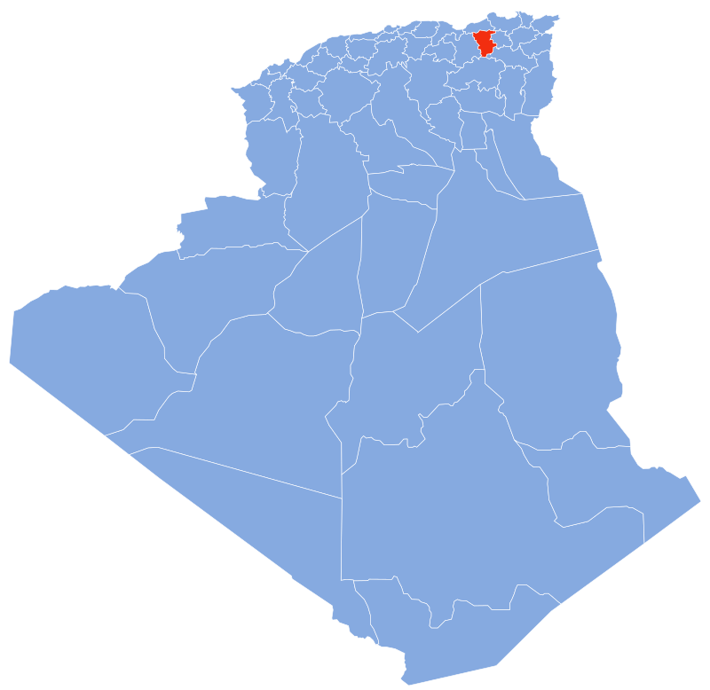

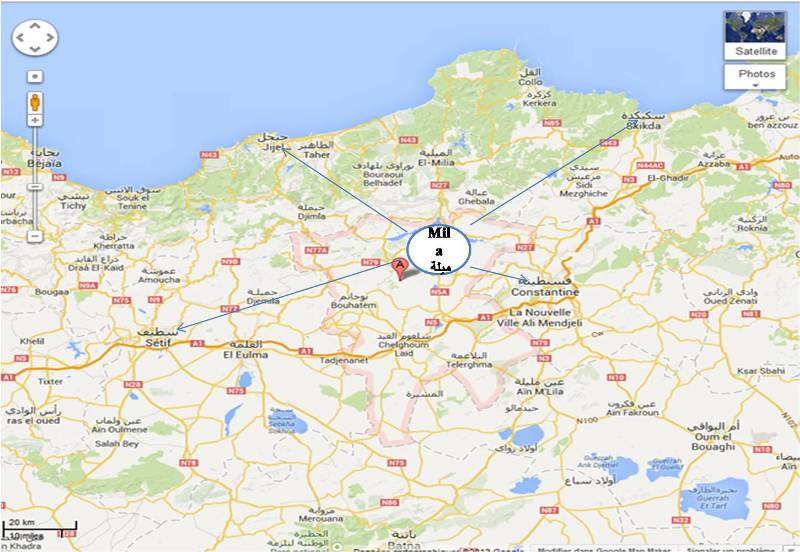
The wilaya of Mila is an Algerian wilaya located in the North-East of Algeria.
The wilaya of Mila is located in the North East of Algeria
and occupies a total area of 3480.45 km ² or 0.14% of the area of the country,
the population of the wilaya is estimated in 2011 by 810 370.
the capital of the wilaya is 50 km from constantine,
100 km from jijel and 450 km from the capital Algiers.
GEOGRAPHICAL SITUATION (Relief - Climate, etc.)
relief:
The wilaya of Mila is located in northeast Algeria, it is bordered:
• to the north, by the wilayas of Jijel and Skikda;
• to the east, by the wilaya of Constantine;
• to the south, by the wilayas of Batna and Oum-El-Bouaghi;
• to the west, by the wilaya of Sétif.
The wilaya of Mila is characterized by a varied relief and has three large distinct areas:
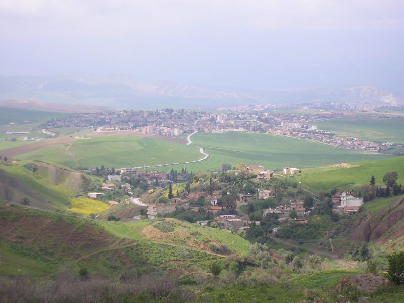
• to the north, the mountains and hills of North Constantine: M’sid Aïcha, Zouagha and El-Halfa crossed by the Oued-el-Kebir
. • to the south, the fertile plains of Milev,
watered by the largest watercourse in eastern Algeria, the Rhummel.
• the extreme south which presents a relief of the high plateaus.
Weather :
The climate is humid in the North, subhumid to semi arid in the center and semi-arid in the South. The rainfall varies between 600 and 900 mm
in the north of the wilaya (920 mm on the mount of Msid Aïcha), between 400 and 600 in the center of the wilaya and less than 400 mm in the south.
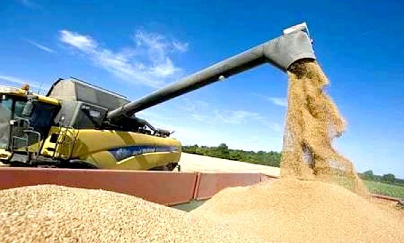
A climate which makes the wilaya of Mila one of the wilest wilayas of the Algerian Tell Central,
particularly suited to the cereal cultivation of durum wheat.
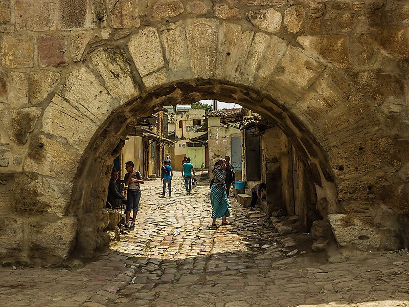
The wilaya of Mila also has many underground water sources and many fountains in the city and common capital of Mila.
Moreover, one of the most famous fountains of Mila, called Aïn Labled by the residents, and which dates back to the third century before
the Christian era at the time of the emperor Constantine 1st,
under whose reign the Roman city of Mila had been built, would be the only source of Antiquity which still flows in the world
hydrography:
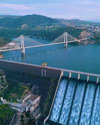
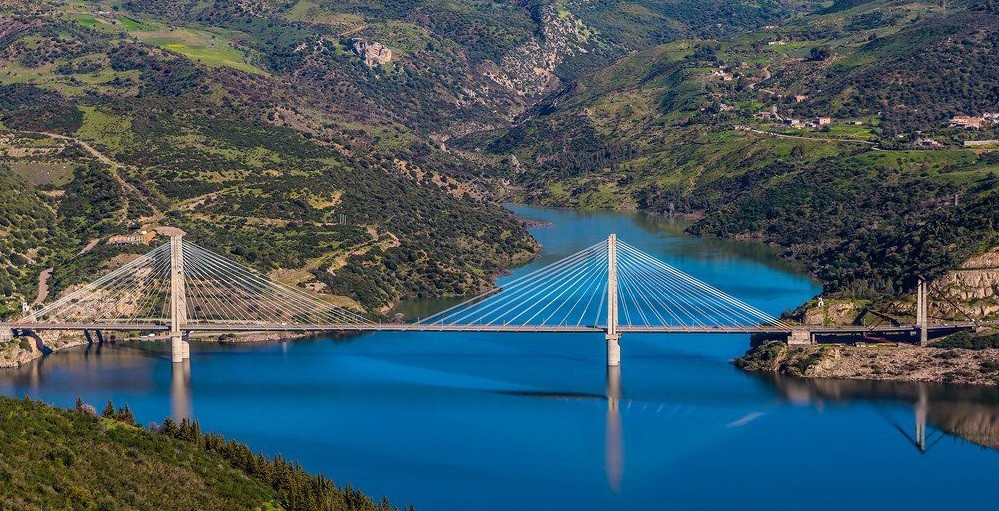
The Wilaya of Mila is home to the largest water dam in Algeria,
the Beni Haroun dam, which supplies a large part of eastern Algeria with drinking water and irrigation water3,4.
The main rivers are Rhummel and Oued-El-Kebir. It also houses the Oued Athmania dam.
Tourism:
13 thermal springs under the concession and various archaeological sites.
the forest area of the wilaya covers 348,054 ha divided into 13,158.20 ha natural forests, 2,266.80 ha of scrub and 18,022 of reforestation,
i.e. a forest cover rate of 9.61%
Agriculture :
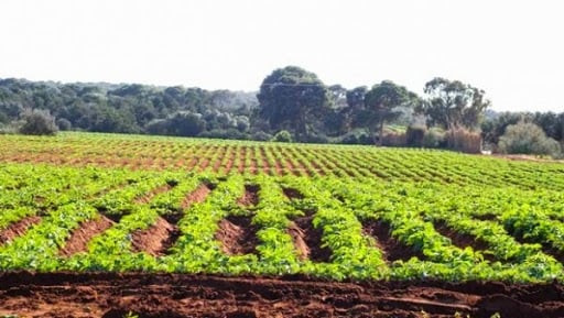
The territory is essentially agricultural. We can distinguish the large plots of Oued-Athmania, Aïn –Mellouk, North of chelgoum-laid, of Tibergunet.
.the total agricultural area is 276,487 ha in 237,557 ha useful.
economy:
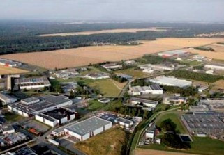
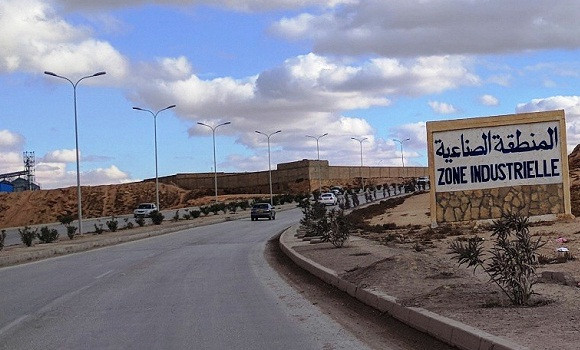
the wilaya of Mila has an industrial zone with an area of 210.4 ha and 16 activity zones the existing industries are shared between the food industry, textiles, construction materials and wood.
Quoted. BP 240, Mila, Algeria
 Contact details of the Chamber of Commerce and Industry of
Mila
CCIBH / Chamber of Commerce and Industry of Beni Haroun
- Address:
- Quoted. BP 240, Mila, Algeria
- Email:
-
cci-beniharoune@caci.dz
- Mobile:
- There is no primary mobile phone
- Landline number:
-
031 47 33 58
031 47 33 56
- Fax:
-
031 47 33 57
- Viber:
- There is no viber account
- Work hours:
- We don't have this information.

