Khenchela
Khenchela
- Code:
- 40
- Name in arabic:
- خنشلة
- Name in english:
- Khenchela
- Name in berber:
- ⵅⴻⵏⵛⵍⴰ
- Phone Code:
- 032
- Zip code:
- 40000
- Population:
- 386 683 hab. (2008)
- Area :
- 9 715 km2
Presentation of the wilaya
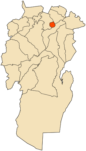
The wilaya of Khenchela is an Algerian wilaya located in the east of the country in the Aurès .
The city is called Khenchela after the daughter of Queen Dihya ( Kahena ). Khenchela is also called Khenshala or Hansala according to the documents. Khen or Hen means dove, bird or hen, and Chela , Shala or Sala means peace. Khenchela means the messenger of peace.
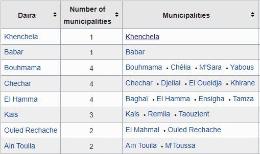
It is divided into 8 arrondissements and 21 municipalities
GEOGRAPHICAL SITUATION (Relief - Climate, etc.)
The wilaya of Khenchela is located in the east of the country, south-east of Constantine . It is bordered:
- to the north, by the wilaya of Oum El Bouaghi ;
- to the south, by the wilaya of El Oued ;
- to the west, by the wilayas of Batna and Biskra ;
- to the east, by the wilaya of Tébessa .

Relief
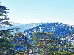
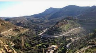
Its physical structure is very heterogeneous. It is characterized by three distinct natural regions :
- The High Plains to the North ; cover 15 % of the territory. It is a region of plains with high water potential which offers great possibilities for agricultural development.
- The mountainous zone , occupies the central and western parts of the wilaya with 36 % of the territory (the Aures massifs and the Nememchas mountains ).
- The course steppe and Sahara : that cover the southern half of the province with 49 % of the total area (pastoral region).
Weather :
The region is characterized by three climates :
- very harsh climate in winter, moderate in summer in the central mountainous regions.
- moderate climate in winter, hot and dry in summer in the Sahrawi steppes of the south.
- very cold climate in winter, dry in summer in the high steppes in the north.

NATURAL POTENTIALITIES
Forests
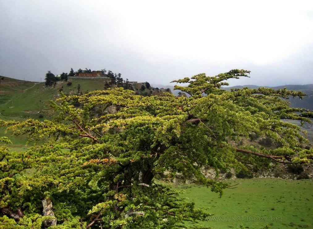
The Bouhmama Forest is a forest located in the Aurès region in Algeria , between the wilaya of Batna and the wilaya of Khenchela . It has been the subject of studies by the Algerian Minister of Agriculture concerning biodiversity.
ECONOMIC POTENTIALITIES
The active population is estimated at 40 % of the total population : 41 % in agriculture, 10 % in industry, 11 % in building work, 38 % in services.
Agricultural potentials
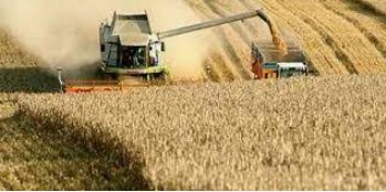
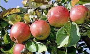
The area devoted to agriculture or covered with forests represents 89 % of the territory of the wilaya 3 . agriculture is the main economic activity of the wilaya. The arboriculture is predominantly in areas of Highlands and plains 2 .
Industry
The wilaya has a light weapons factory which depends on the Ministry of Defense, the Khenchela Mechanical Construction Company (ECMK).
ECONOMIC, ADMINISTRATIVE AND SOCIAL INFRASTRUCTURES
Hydraulic
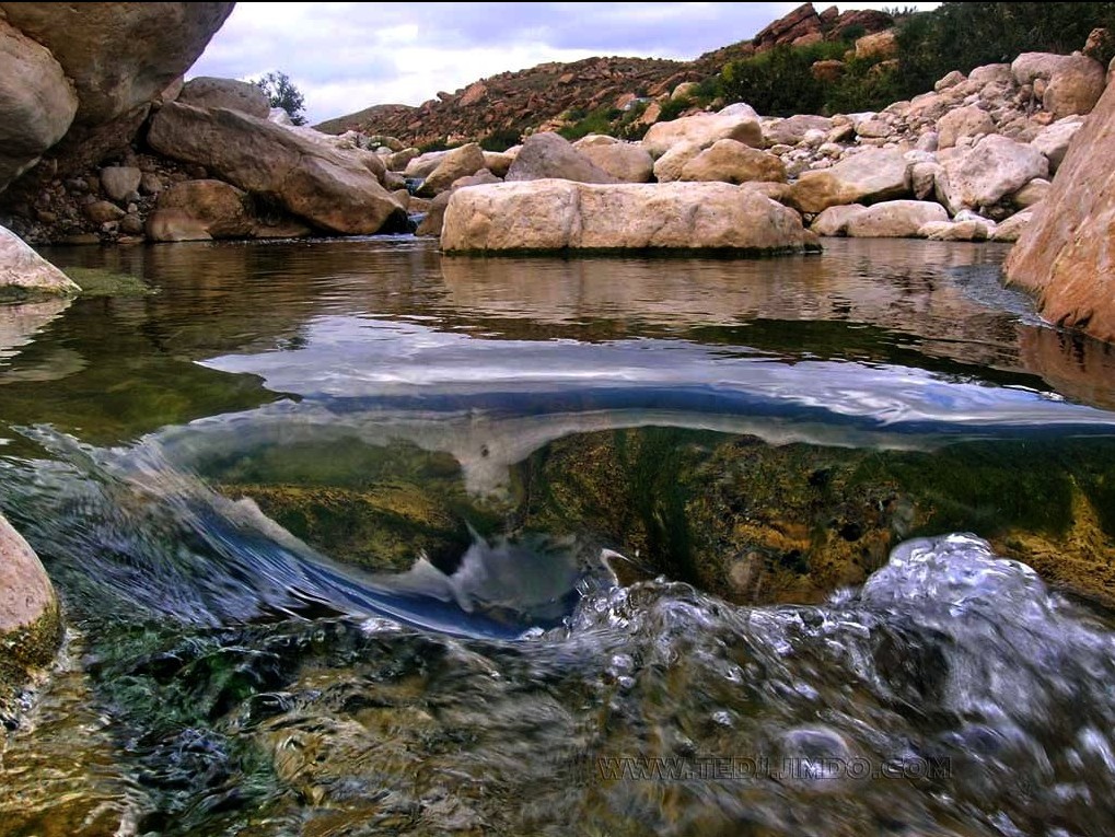
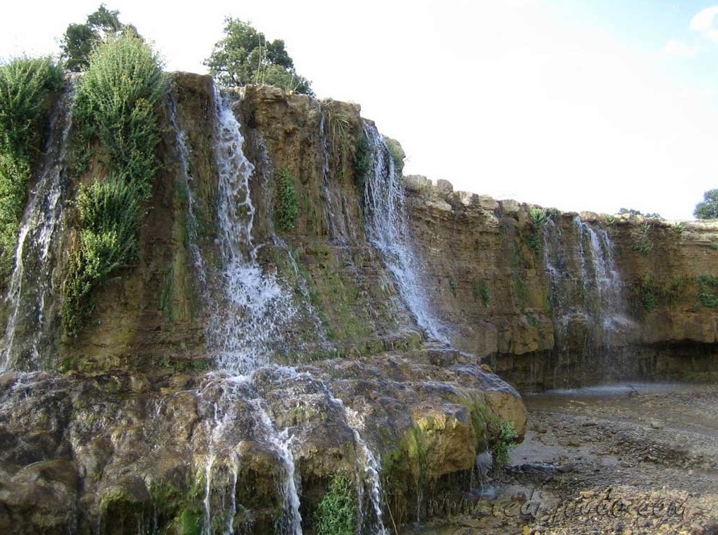
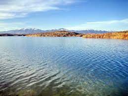
This wilaya contains hundreds of natural water sources .
This wilaya is home to dozens of wadis .
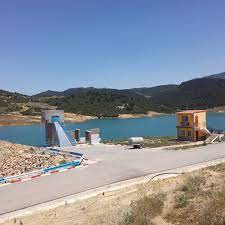
This wilaya includes the following dams :
- Babar Dam .
- Taghrist Dam .
- Melagou dam .
- Lazrag Dam .
- Bouhmama dam .
- Ouldja dam .
Education :
The wilaya has primary schools, CEMs and high schools
Health
- Ali Boushaba Hospital.
- New hospital.
- Chechar Hospital.
- Kaïs hospital.
- Mohamed Boudiaf Hospital in Ouled Rechache .

TOURIST ACTIVITIES
The wilaya has several tourist sites :
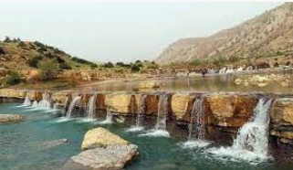
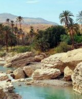
- natural sites ( forests , oases , gorges );
- Roman and historical ruins (175 sites spread across the municipalities);
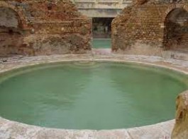
- thermal springs ( Hammam Essalihine , Hammame K'nif), four other thermal springs are not used
Rue Abdelhamid Ben Badis.Route Ain El Beida, Khenchela, Algeria
 Contact details of the Chamber of Commerce and Industry of
Khenchela
CCIC / Chamber of Commerce and Industry of Chelia
- Address:
- Rue Abdelhamid Ben Badis.Route Ain El Beida, Khenchela, Algeria
- Email:
-
cci-chelia@caci.dz
- Mobile:
- There is no primary mobile phone
- Landline number:
-
032 71 85 71
032 71 85 61
- Fax:
-
032 71 85 61
- Viber:
- There is no viber account
- Work hours:
- We don't have this information.
