Oum El Bouaghi
Oum El Bouaghi
- Code:
- 04
- Name in arabic:
- أم البواقي
- Name in english:
- Oum El Bouaghi
- Name in berber:
- ⵜⴰⵎⵏⴰⴹⵜ ⵏ ⵓⵎ ⴻⵍ ⴱⵓⴰⵖⵉ
- Phone Code:
- 032
- Zip code:
- 04000
- Population:
- 621 612 hab.
- Area :
- 7638 km2
Presentation of the wilaya
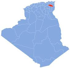
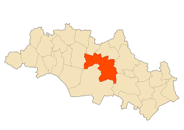
The wilaya of Oum El Bouaghi in Berber : ⵜⴰⵎⵏⴰⴹⵜ ⵏ ⵓⵎ ⴻⵍ ⴱⵓⴰⵖⵉ ; in Arabic : ولاية أم البواقي ) is an Algerian wilaya, resulting from the administrative division of 1974 when it depended on the former department of Constantine.
Historically, it is part of the Chaouis region with the wilaya of Batna and the wilaya of Khenchela. Unlike the latter two, which constitute the Aurès mountains , the wilaya of Oum El Bouaghi is at the heart of the Chaouia culture of the plain.
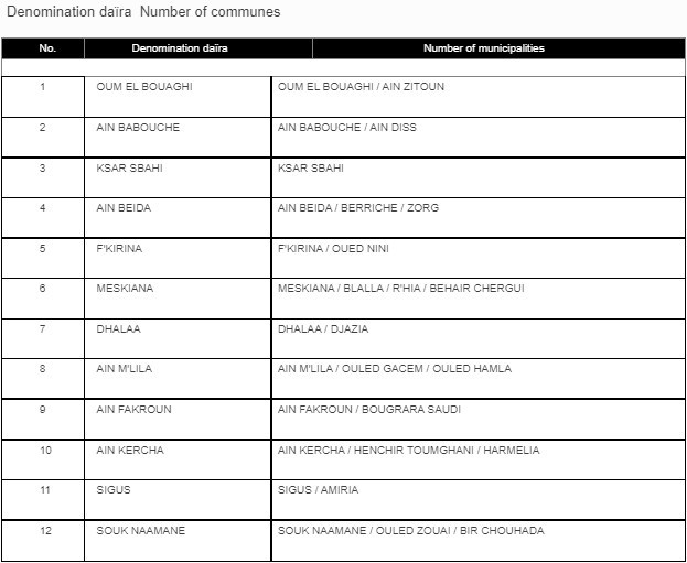
The wilaya of Oum El Bouaghi is made up of twelve daïras which have 29 municipalities.
GEOGRAPHICAL SITUATION (Relief - Climate, etc.)
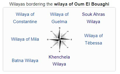
The wilaya is located in the northeast of the country. It is limited : • To the north by the wilaya of Constantine. • To the north-east by the Wilaya Guelma and Souk Ahras. • In the North-West by the Wilaya Mila. • To the south-west by the Wilaya Batna. • To the south by the Wilaya Khenchela. • to the south-east by the Wilaya Tébessa.
Relief:
The wilaya is located in contact with Tell and Aurès :
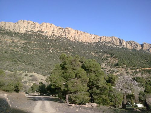
To the north of the wilaya, we can distinguish the southern slopes of the Tell, these are the Sraouate, transition lands, neither Telliens, nor steppics.
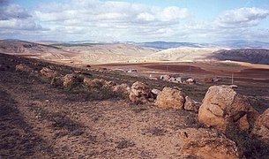
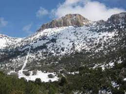
In the center, the high plain, the altitude varies from 750 meters to 900 meters and sometimes dotted with powerful isolated mountain ranges (horst) which rise above it.
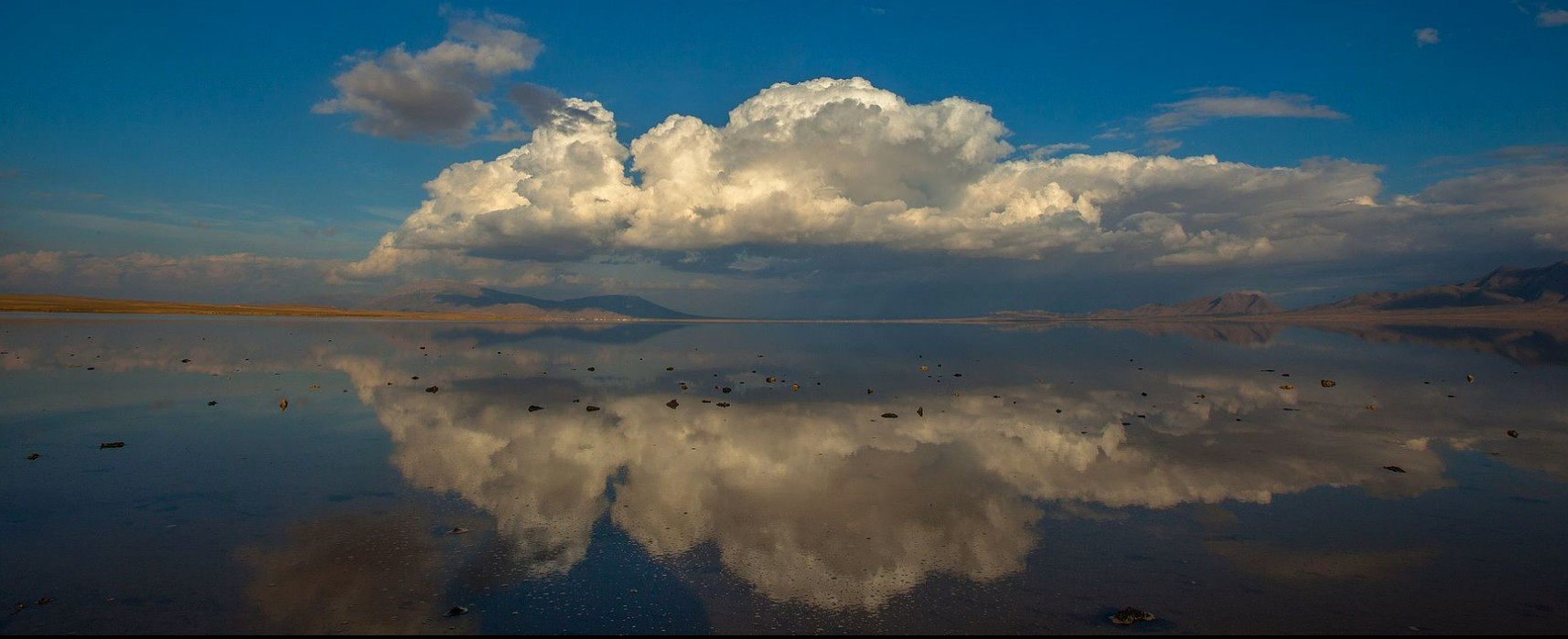
To the south, the seboukhate zones are marked by endorheic depressions (Guerah) or Sebkha (salt lake). The Guerah are less salty than the Sebkha.
Weather :
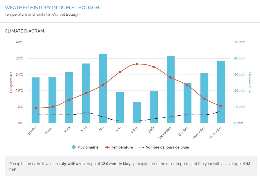
The wilaya of Oum El Bouaghi is located in a corridor between the Tell Atlas to the north, the Saharan Atlas including the Aurès to the south. The wind factor is omnipresent sometimes in a violent way (venturi effect).
The mild Mediterranean influences in winter and refreshing in summer are stopped by the tellian mountain barrier, the warm influences of the Sahara are blocked by the Saharan Atlas and the Aures massif in winter. This is the reason why winters are harsh.
On the other hand, the summer is governed by an atmospheric stability generated by the rise of the tropical high pressures coming from the Sahara. Fearsome blows of Sirocco (chehili) appear suddenly, it is often violent and raises vortices of red dust. Continentality also helps keep the weather hot and dry.
ECONOMIC POTENTIALITIES
The wilaya of Oum El Bouaghi conceals various natural resources such as dolomite and clay deposits, aggregate and sand quarries, salt marshes, quarries for the manufacture of cements.
The most important industries in the wilaya are those of agrifood, construction materials, textiles, assembly of household appliances, mines and quarries, etc.
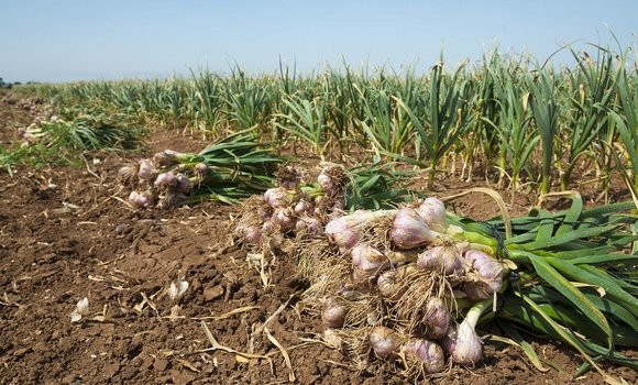
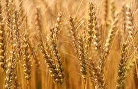
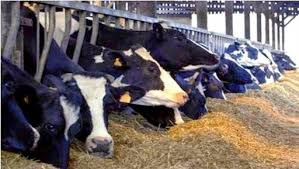
Agriculture constitutes the main activity of the wilaya.
Agricultural potentials
The territory of the wilaya of Oum El Bouaghi is made up of high plains, suitable for receiving various cultures. The useful agricultural area (UAA) with an area of 360,894 ha represents 62.36% of the total agricultural area including 35,520 ha of irrigable land. This gives it real possibilities for agricultural development.
Industry
· Industrial zones : 2 zones with an area of 292 ha.
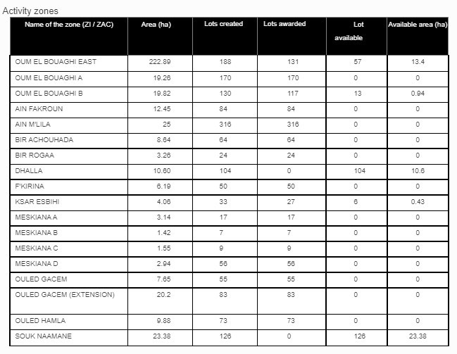
· Activity zones: 20 zones with an area of 409 ha including 9 zones already serviced and 11 in progress.
With regard to the mining sector, the wilaya has 54 aggregate and sand production units distributed throughout the territory of the wilaya.

ECONOMIC, ADMINISTRATIVE AND SOCIAL INFRASTRUCTURES
Hydraulic
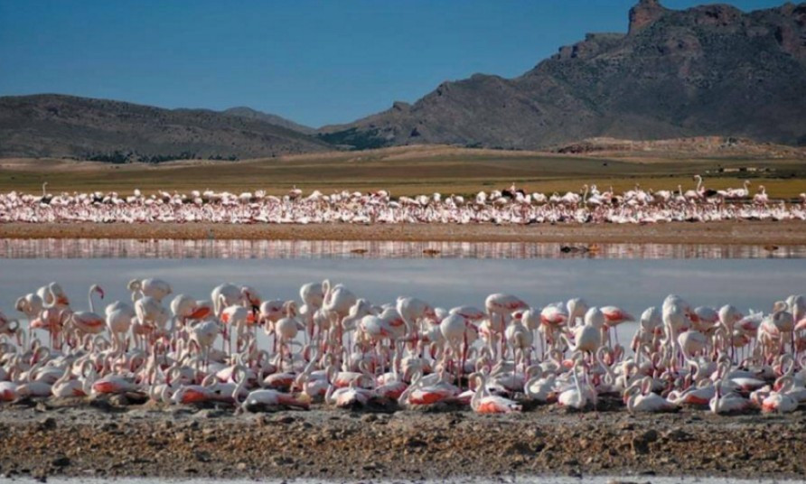
The wilaya of Oum-El-Bouaghi has several wetlands including three main Sebkhas or Chotts : Guerrah Etarf, Guerrah El Guelif, Guerrah Ank Jemel El Merhssel, Sebkhet Ezzemoul and Chott Tinsilt.
The wilaya conceals significant water resources which come mainly from aquifers.
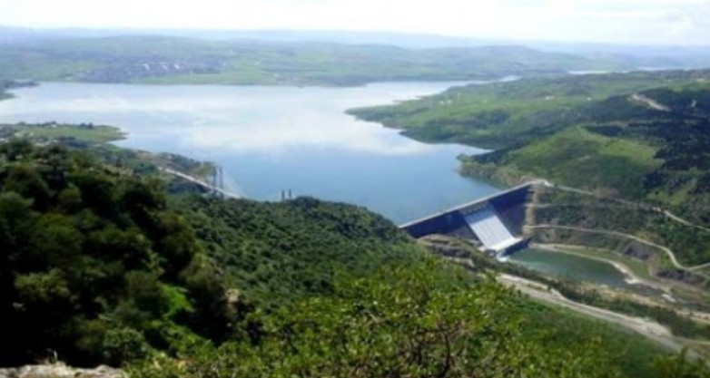
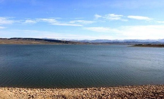
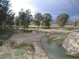
The wilaya of Oum El Bouaghi includes the dam of Ourkis
Road network
National Roads 414 km
Wilaya roads 413 km
Communal roads 1075.5 km
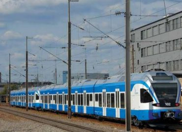
Railway network:
❖ Stations: AIN MLILA, AIN FAKROUN, OUM EL BOUAGHI
❖ Linear AIN MLILA- Tébessa: 165 Km
❖ Linear Constantine-Tébessa: 260Km
Health
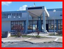
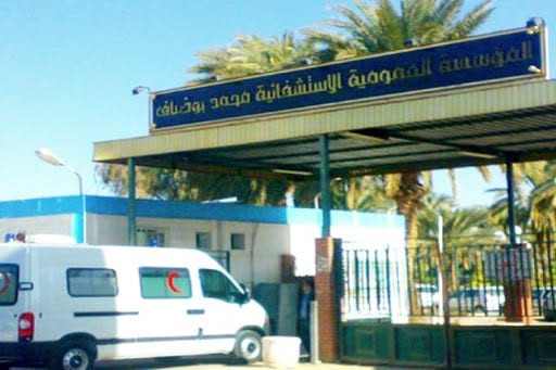
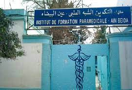
The wilaya has 7 hospitals, 18 polyclinics and 107 treatment rooms.
· Mohamed Boudiaf Hospital in Oum El Bouaghi.
· Oum El Bouaghi old hospital.
· Zerdani Salah Hospital in Aïn Beïda.
· Meskiana Hospital.
· Aïn M 'lila Hospital.
· Aïn Fakroun Hospital.
TOURIST ACTIVITIES
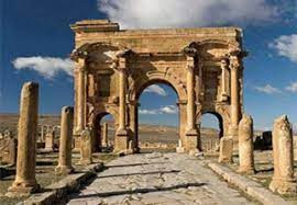
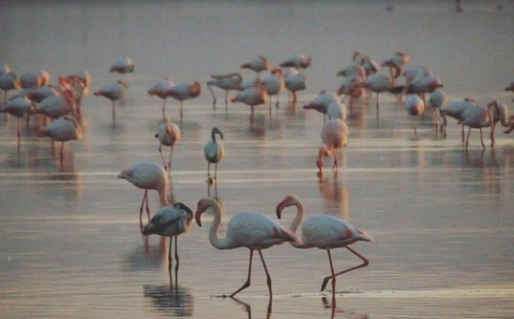
The wilaya is home to many sites and monuments : Roman remains at Ksar Sbahi and Dhalâa , Berber mausoleums as well as other tourist sites. The wilaya has many tourist assets to exploit: such as paragliding, nautical activity, hiking and climbing mountains, fishing at the Ourkis dam, horse riding, bird watching at the level of the sebkhas. Crafts, varied gastronomy to discover, etc.
Cité Ennasr.Bp 383, Oum El Bouaghi, Algeria
 Contact details of the Chamber of Commerce and Industry of
Oum El Bouaghi
CCISR / Chamber of Commerce and Industry of Sidi R'ghis
- Address:
- Cité Ennasr.Bp 383, Oum El Bouaghi, Algeria
- Email:
-
cci-sidirghis@caci.dz
- Mobile:
- There is no primary mobile phone
- Landline number:
-
032 55 78 52
- Fax:
-
032 55 78 52
- Viber:
- There is no viber account
- Work hours:
- We don't have this information.
