Tiaret
Tiaret
- Code:
- 14
- Name in arabic:
- تيارت
- Name in english:
- Tiaret
- Name in berber:
- ⴰⴳⴻⵣⴷⵓ ⵏ ⵜⵉⵀⴻⵔⵜ
- Phone Code:
- 046
- Zip code:
- 14000
- Population:
- 846 823 hab
- Area :
- 20 673 km2
Presentation of the wilaya
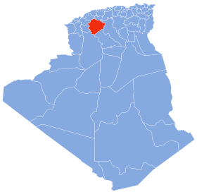
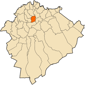
The wilaya of Tiaret (in Arabic : ولاية تيارت ; in Berber : ⴰⴳⴻⵣⴷⵓ ⵏ ⵜⵉⵀⴻⵔⵜ ) is a wilaya Algerian located in the west of the country in the region of the highlands . It is an agro-pastoral region.
Tiaret comes from Berber Tahert which means the "lioness" in Berber , in reference to the Barbary lions that lived in this region
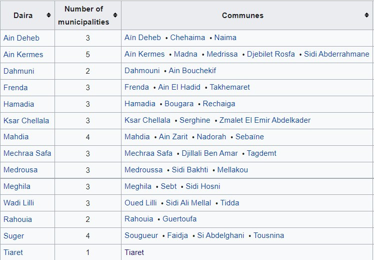
The wilaya has fourteen daïras with 42 municipalities:
GEOGRAPHICAL SITUATION (Relief-Climate…)
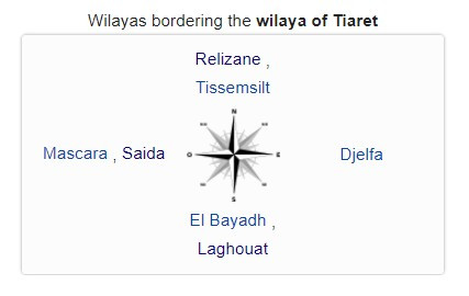
The wilaya of Tiaret is located in the west of Algeria , it is delimited:
· to the north, by the wilayas of Tissemsilt and Relizane ;
· to the south, by the wilayas of Laghouat and El Bayadh ;
· to the west, by the wilayas of Mascara and Saïda ;
· to the east, by the wilaya of Djelfa .
Relief:
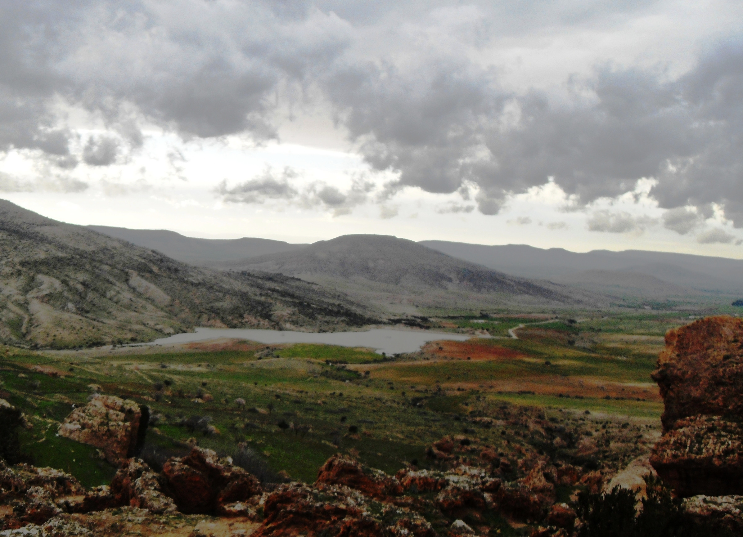
The wilaya of Tiaret presents on the physical level three large distinct zones:
· To the north: a mountainous area of the Tell Atlas ;
· In the center: the high plateaus ;
· To the south: semi-arid spaces.
Weather :
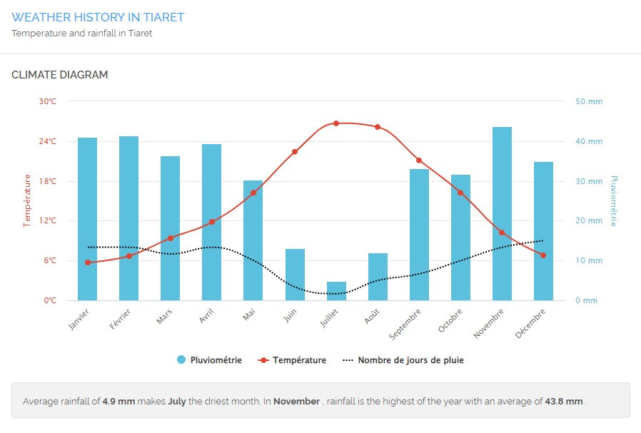
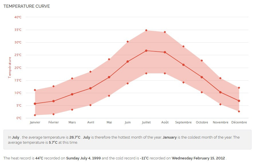
The wilaya is characterized by a continental climate whose winter is harsh and summer is hot and dry, it receives 300 to 400 mm of rain on average per year.
ECONOMIC POTENTIAL
Agricultural Potentials
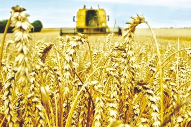
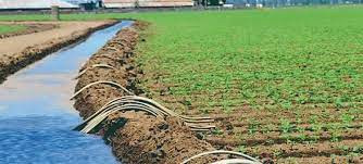
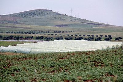
Tiaret extends over an area of 20,673 km² and has more than 900,000 inhabitants. The wilaya contributes 3% to the national economy and 24% to the development of the local economy, with, alone, a figure of 10 billion DZD (75.5 M EUR). It is also the national leader in two niches, cereal production and onion production, and is also a good producer of red meats, white meats, eggs, olives, fruits and vegetables.
Located on the Hauts-Plateaux 300 km south-west of the Algiers capital, Tiaret makes every effort to develop the export of its products. 40 projects have been launched; half are in progress, such as the extension of 700,000 ha of agricultural land out of a total of 1.6 M ha). Particular attention is reserved for the milk, meat and cereal sectors, for modern agriculture, in order to encourage investment projects.
Industry
Existing industries :
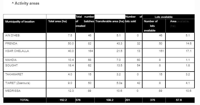
Brickworks, mechanical industry, public works, metal processing, durum wheat processing, textiles, plastic industries, agro-food, foundry, electronics industry.
All-terrain vehicle assembly plant on the Ain Bouchekif industrial site under construction .

ECONOMIC, ADMINISTRATIVE AND SOCIAL INFRASTRUCTURES
Hydraulic
The length of the hydrographic network of the wilaya is 1,938 km . The main rivers are: Oued Touil , Oued Mina and Nahr Ouassel
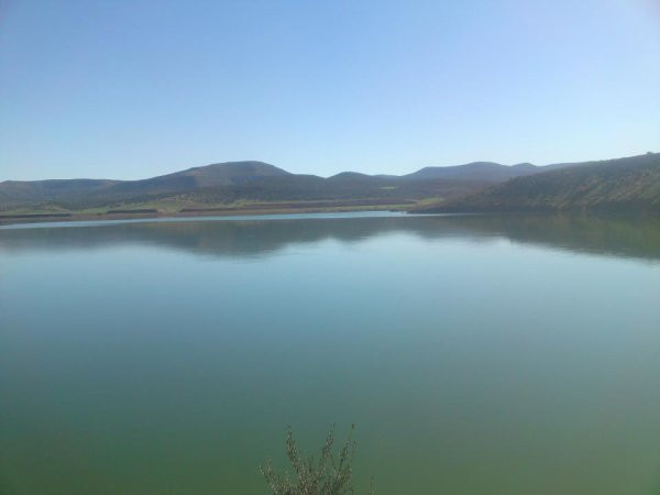
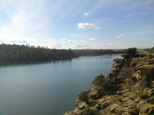
This wilaya includes the dams following:
· Benkhedda Dam .
· Dahmouni Dam .
· Bougara Dam .
Road network

Airport network:
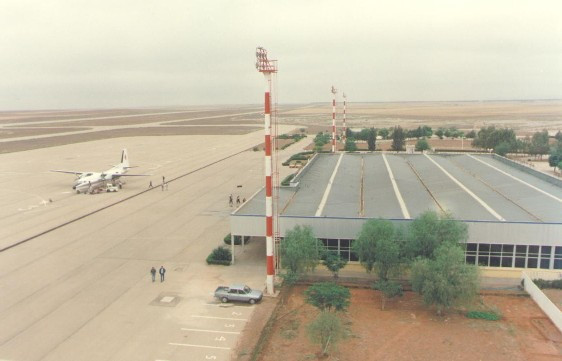
Tiaret airport is located in AIN BOUCHEKIF 15 km north of the capital of the wilaya. It is connected to the city's main road network by a dual carriageway.
Health
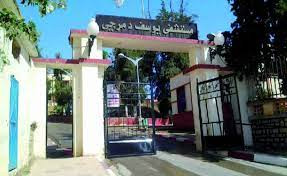
· Tiaret Hospital.
· Sougueur Hospital .
· Mahdia Hospital.
· Frenda Hospital.
· Chellala Hospital
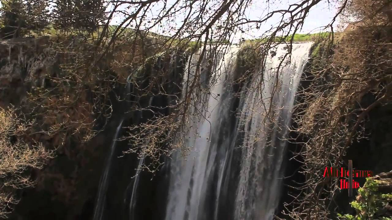
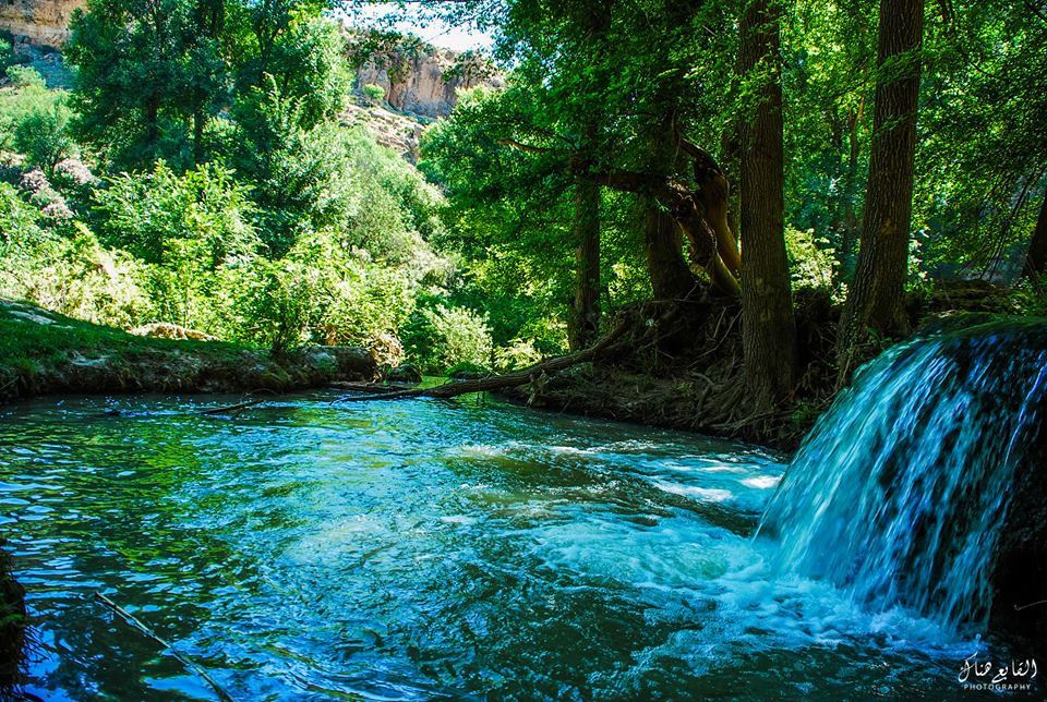
TOURIST ACTIVITIES
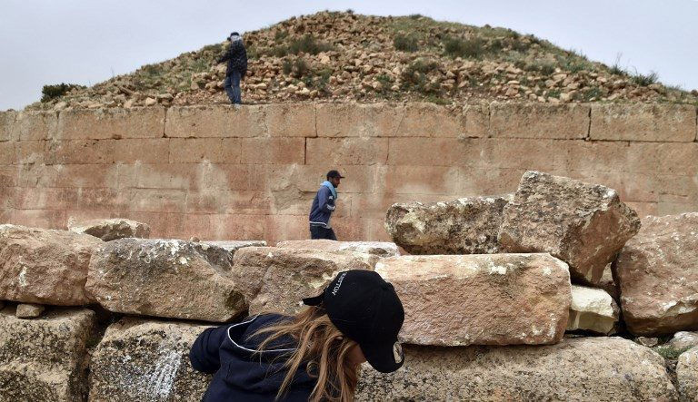
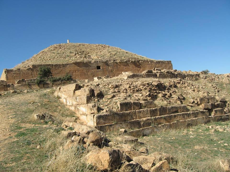
The Tiaret region conceals a very vast archaeological field illustrated by the presence of Berber and Roman remains
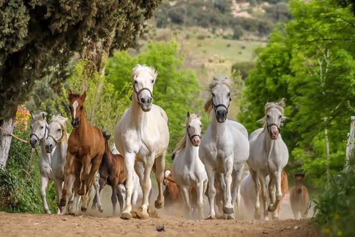
The mare of Tiaret refers to the Arabian horse characterized by its small size, very dynamic and intelligent
160 km to the far east of the wilaya of Tiaret , on the territorial borders with the wilaya of Djelfa arises, embedded at the foot of a majestic hill, Hammam Serghine .
A spa located in the town of Serguin or Serghine , 16 km from the town of Ksar Chellala .
2, boulevard bouabdeli bouabdellah.bp 442, Tiaret, Algeria
 Contact details of the Chamber of Commerce and Industry of
Tiaret
CCIS / Chamber of Commerce and Industry of Sersou
- Address:
- 2, boulevard bouabdeli bouabdellah.bp 442, Tiaret, Algeria
- Email:
-
cci-sersou@caci.dz
- Mobile:
- There is no primary mobile phone
- Landline number:
-
046 21 24 07
- Fax:
-
046 21 24 05
- Viber:
- There is no viber account
- Work hours:
- We don't have this information.
